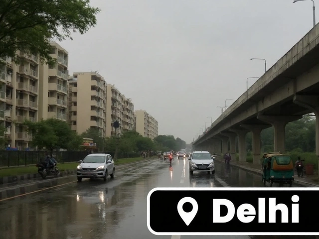
Faridabad rain on August 23 brings sudden relief, exposes flood risks
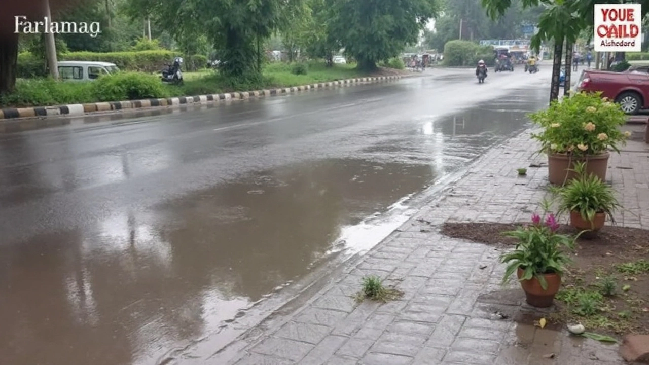
Sudden downpour flips the heat script in Faridabad
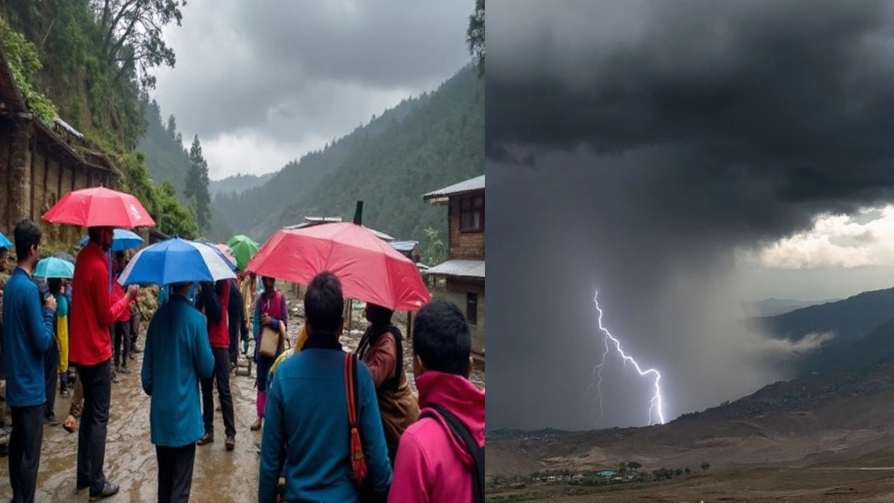
One sharp afternoon cloudburst turned a blazing week on its head in Faridabad on Saturday, August 23, 2025. The showers began around noon and stayed on through the afternoon in pulses, shifting from steady rain to heavier bursts. After days of sweltering heat, the city finally cooled down, with temperatures dropping by several degrees and streets briefly smelling of wet earth instead of hot tar.
The India Meteorological Department (IMD) had cautioned about isolated light rain across the National Capital Region, but the intensity over parts of Faridabad overshot that guidance. Some neighborhoods saw moderate to heavy spells, the kind that fill drains quickly and force motorists to slow down. It wasn’t a citywide washout, but it was strong enough in pockets to be noticed—and welcomed.
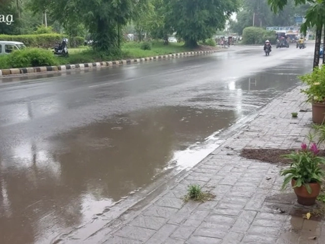
Low-lying lanes and stretches near drains collected water for a while, leading to slower traffic and short detours. Two-wheelers bunched up under shopfronts, and cabs inched through pooled sections. The rain did not cripple movement, yet it created the familiar monsoon pattern of stop-go traffic and small backups at busy junctions. As the bursts eased, the water receded in many spots, though slick roads kept speeds low into the evening.
Residents posted quick videos of curtains of rain sweeping across housing blocks and markets. You could see shopkeepers dragging sandbags into place, bikers waiting out the heaviest spell under awnings, and kids splashing through puddles as the first wind gusts passed. The mood was clear: relief first, grumbling later if the water didn’t drain fast enough.
Weather-wise, this was a classic late-monsoon setup. When a hot stretch loads the lower atmosphere and a moisture surge arrives, convective clouds can bloom fast. That’s when you get short, intense downpours separated by lighter rain or lulls. The IMD’s nowcast maps often flag these as localized thunder cells over the southern edge of the NCR. Saturday fit that pattern well, shifting the city from blazing sun to grey skies and rain within an hour.
For many, the biggest comfort was the temperature drop. After a stretch where afternoons felt punishing even indoors, windows opened up, fans slowed, and evening walks returned. The relief was real, even if the city had to manage the usual monsoon trade-offs on the roads.
What it means for the days ahead
The IMD expects the wet mood to stick around. Its outlook points to continued rainy conditions for the region, with the 30-day forecast from August 25 showing multiple days of moderate rain. That could blunt the lingering heat and give the city cooler evenings, but it also raises the odds of urban flooding when strong cells park over the same area twice in a day or on back-to-back days.
Faridabad’s built-up footprint leaves little room for heavy rain to soak in. Paved surfaces push water into drains all at once, and when grates are clogged, water quickly backs up in dips and underpasses. One heavy burst is usually manageable if the network is clear; the trouble starts when the next burst arrives before the first wave has drained. That is when familiar trouble spots reappear and traffic control needs to kick in fast.
The climate signal behind these swings is growing harder to ignore. Faridabad’s Climate Change Severity Score is 62 out of 100—tagged as “Very High”—and the city has seen a 19.3% worsening over the past 15 years. In plain terms, people are living through longer hot spells and sharper rain episodes. Heat builds for days, then storms cut in with more sudden intensity. It’s a jolt the city feels on the streets, in homes, and in daily routines.
City agencies have advised caution during heavy bursts and asked people to avoid waterlogged stretches. For residents and commuters, a few practical steps go a long way when the radar turns speckled with storm cells:
- Avoid driving through moving water; even a few inches can hide potholes or stalled vehicles.
- Check IMD advisories or smartphone weather alerts before heading out; plan extra time for travel.
- If your ground floor is prone to seepage, lift electronics and valuables, and cut power from the main if water enters.
- Park on higher ground when possible and keep a basic emergency kit—medicines, drinking water, a flashlight, and a power bank—in the car.
- Two-wheeler riders: wait out the heaviest 10–15 minutes of a burst and keep more braking distance on slick roads.
- Housing societies can clear drain grates and keep portable pumps ready; shop owners should secure signboards and temporary hoardings.
Public transport usually adapts during intense spells—road buses may slow and routes may detour. If you rely on cabs, watch surge pricing as demand jumps when rain begins. For office-goers, flexible timings can help avoid the tight afternoon window when convection peaks and the busiest rain cells tend to form.
There are a few side effects beyond traffic. Air quality often improves a notch right after a strong shower as dust and fine particles get knocked down. Humidity rises though, which can feel heavy indoors if ventilation is poor. If your home stays damp after rain, air out rooms when the shower passes and keep an eye out for mold near bathrooms and kitchens.
In peri-urban parts of the district, the rain helps recharge soil moisture, especially where fields were drying after the heat. Standing water, however, can stress young plants and vegetables if drainage is weak. Farmers typically watch for another quick burst within 24 hours—back-to-back events matter more to fields than a single storm.
Timing-wise, late-monsoon showers in the NCR often build from afternoon into evening, especially after a hot morning. Mornings may start with low clouds and a sticky feel, followed by short sunny breaks that feed cloud growth again. Keep that rhythm in mind when you plan errands or school runs this week.
The headline is simple: the Faridabad rain brought real relief after a punishing week, but it also put a lens on the city’s flood-prone spots. With more wet days on the IMD’s near-term charts, a little planning will help residents enjoy the cooler air without getting caught out by ankle-deep surprises on the way home.
